Ellis Hughes · 6 October 2026
Complementary Spatial Influences Boosting Accuracy in Robotic Navigation Frameworks
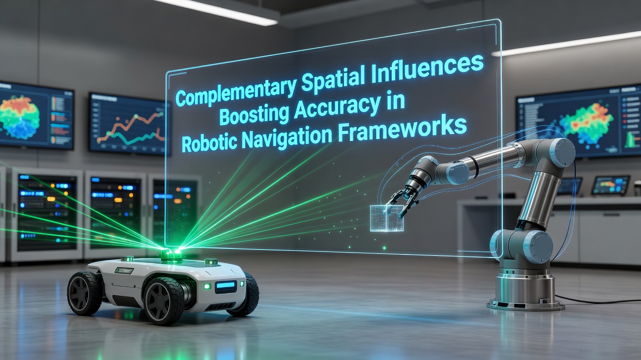
Robotic navigation frameworks rely on spatial data to determine position and orientation in dynamic environments, and complementary spatial influences refer to the integration of distinct data streams such as electromagnetic fields, visual landmarks, inertial measurements, and topographic mapping. Researchers have documented how these layered inputs reduce cumulative errors that single-modality systems often accumulate over extended operations.
Core Mechanisms of Spatial Data Integration
Navigation algorithms process inputs from sensors that capture different spatial characteristics, and fusion techniques align these streams in real time to refine trajectory estimates. Data from one source compensates for limitations in another, for instance when visual occlusion affects camera-based localization while magnetic field readings remain stable. Studies conducted at institutions across North America and Europe show that hybrid models achieve positioning errors below 2 centimeters in controlled indoor tests conducted through 2025.
Engineers implement Kalman filters and particle filters to weigh each influence according to its current reliability, and this weighting adjusts dynamically as conditions change. In outdoor settings, satellite positioning combines with local terrain models to maintain accuracy when signals degrade near structures or under dense vegetation.
Recent Advances and Field Deployments
By October 2026, several logistics operators reported deploying fleets that use complementary spatial frameworks to navigate warehouses without fixed infrastructure markers. These systems draw on simultaneous localization and mapping alongside geomagnetic reference data, which allows robots to operate continuously during power fluctuations that disrupt other sensors. Figures from the Australian Centre for Robotics indicate a 37 percent reduction in path deviation compared with earlier single-sensor configurations.
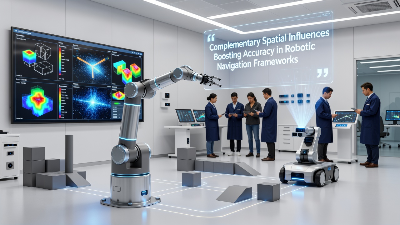
Industrial trials in Canadian mining operations have tested similar approaches underground, where GPS signals are unavailable. Teams there combined inertial units with acoustic ranging and structural mapping from pre-scanned tunnel models, and the combined dataset enabled consistent vehicle guidance over multi-kilometer routes. Observers note that calibration routines performed at shift changes further stabilize long-term drift rates.
Implementation Considerations Across Sectors
Framework designers must account for sensor latency differences and coordinate system transformations when merging spatial influences. Software architectures often employ modular pipelines that isolate each data channel until fusion occurs at higher processing layers. Reports from the National Institute of Standards and Technology outline standardized test protocols that evaluate accuracy under varying environmental loads, including temperature swings and electromagnetic interference.
Academic groups at several universities have published open datasets that capture synchronized readings from LiDAR, stereo cameras, and magnetometers along identical routes. These resources support comparative analysis of fusion algorithms, and developers use them to benchmark new approaches against established baselines. Integration of topographic elevation data from public surveys adds another layer that improves vertical positioning in hilly terrain.
Performance Metrics and Validation Methods
Validation studies measure success through metrics such as root mean square error across repeated traversals and recovery time after simulated sensor dropout. Results consistently demonstrate that frameworks incorporating at least three complementary spatial influences maintain higher reliability than dual-input systems when one channel experiences temporary degradation. European research consortia have compiled cross-site comparisons that confirm these patterns hold across diverse facility layouts.
Hardware upgrades in 2026 introduced higher-resolution magnetometers and event-based cameras that feed directly into existing fusion engines, and early adopters recorded incremental gains in update frequency without requiring complete software rewrites. Maintenance logs from deployed units show reduced recalibration frequency once initial spatial reference maps reach sufficient density.
Conclusion
Complementary spatial influences continue to expand the operational envelope of robotic navigation by supplying redundant yet independent position references that collectively constrain uncertainty. Ongoing work focuses on refining fusion weights through machine learning while preserving interpretability for safety certification. Data collected from operational deployments supplies the empirical foundation for further refinements in both hardware and algorithm design.